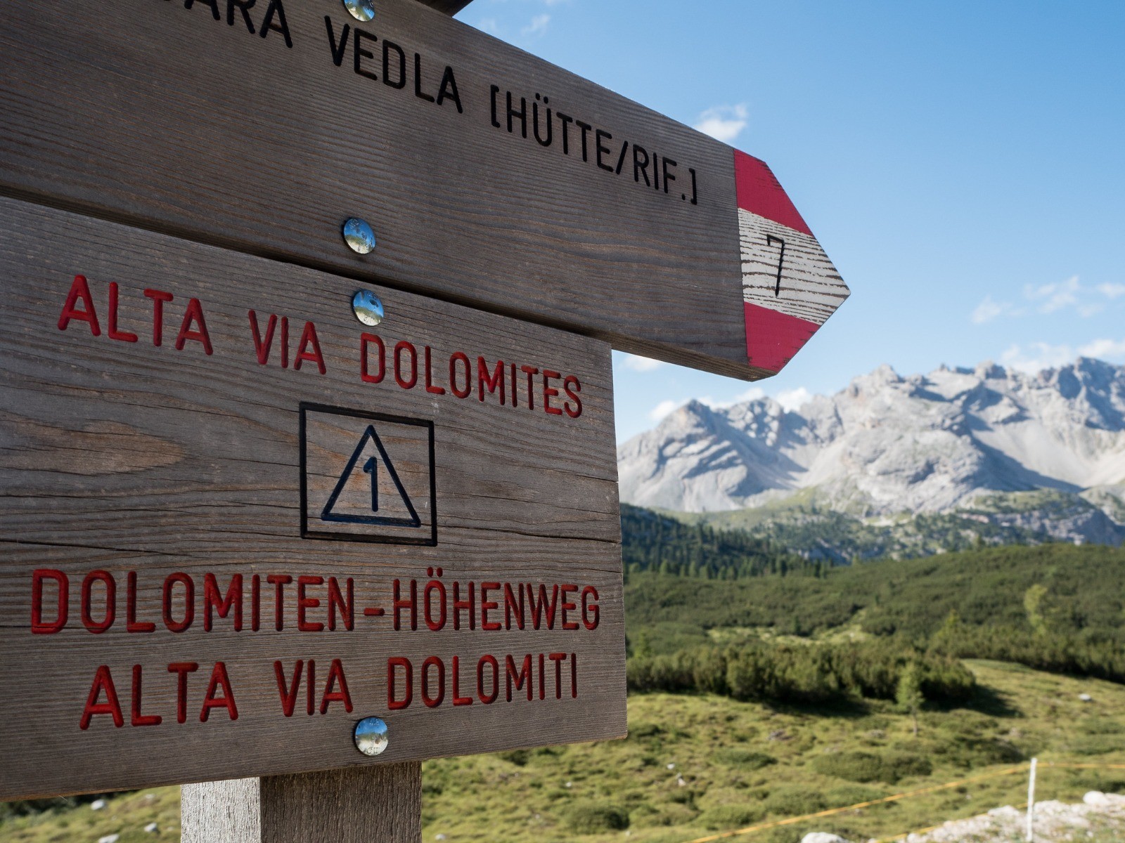
Refuge Carestiato - Refuge Bianchet
 Actions
23.9 km

+1351 m
/-1913 m
00:28

Cliquez pour activer


Cliquez et déplacez la souris sur le profil pour analyser un tronçon (2 doigts sur mobile)
Commentaires
Pas encore de commentaire, connectez-vous pour en ajouter un.
Connectez-vous pour ajouter un commentaire
Longueur et nombre de points

23.88 km

1278 pts

9 marqueurs
Denivelé et altitude
Calculés avec un seuil de 10 mètres et un lissage sur 5 points

1350 m

1913 m

2398 m

1254 m

1802 m
Date et durée

10 août 2023
06:59

10 août 2023
07:27

00:28:16
Vitesses et denivelés horaires

50.7 km/h
Détail »

60.1 km/h
au km 15.5

6948 m/h
0h10m44s

-8185 m/h
0h13m04s
| km | Temps | Vitesse | Pause |
|---|
| 1 | 01'11" | 50.4 km/h | |
| 2 | 01'11" | 50.6 km/h | |
| 3 | 01'12" | 50.1 km/h | |
| 4 | 01'11" | 50.5 km/h | |
| 5 | 01'11" | 50.7 km/h | |
| 6 | 01'11" | 50.4 km/h | |
| 7 | 01'10" | 51.1 km/h | |
| 8 | 01'12" | 49.9 km/h | |
| 9 | 01'12" | 49.8 km/h | |
| 10 | 01'11" | 50.4 km/h | |
| 11 | 01'12" | 50 km/h | |
| 12 | 01'11" | 50.8 km/h | |
| 13 | 01'11" | 50.4 km/h | |
| 14 | 01'11" | 50.7 km/h | |
| 15 | 01'11" | 51 km/h | |
| 16 | 01'10" | 51.5 km/h | |
| 17 | 01'11" | 50.8 km/h | |
| 18 | 01'11" | 50.5 km/h | |
| 19 | 01'10" | 51.3 km/h | |
| 20 | 01'10" | 51.2 km/h | |
| 21 | 01'11" | 50.7 km/h | |
| 22 | 01'10" | 51.8 km/h | |
| 23 | 01'10" | 51.3 km/h | |
Dépense calorique (estimation)

1178 Cal
2500 Cal/h
Plus

Affichée 2094 fois et téléchargée 0 fois depuis le 22.04.26 23:28
KME
43.8 kilomètres effort
Carte + Profil [Afficher un aperçu]
<iframe src="https://www.visugpx.com/qyghF7Rm7V?iframe&t=7" allowfullscreen style="border: 0;width: 100%; height: 540px;" loading="lazy" scrolling="no"></iframe>
Carte uniquement [Afficher un aperçu]
<iframe src="https://www.visugpx.com/qyghF7Rm7V?iframe&t=7&maponly" allowfullscreen style="border: 0;width: 100%; height: 540px;" loading="lazy" scrolling="no"></iframe>
 ForumsToposLes plus belles randosSegments
 Offre Premium
 Connexion


 Alta Via 1 - Traversée des Dolomites du Lago di Braies à Belluno > J7