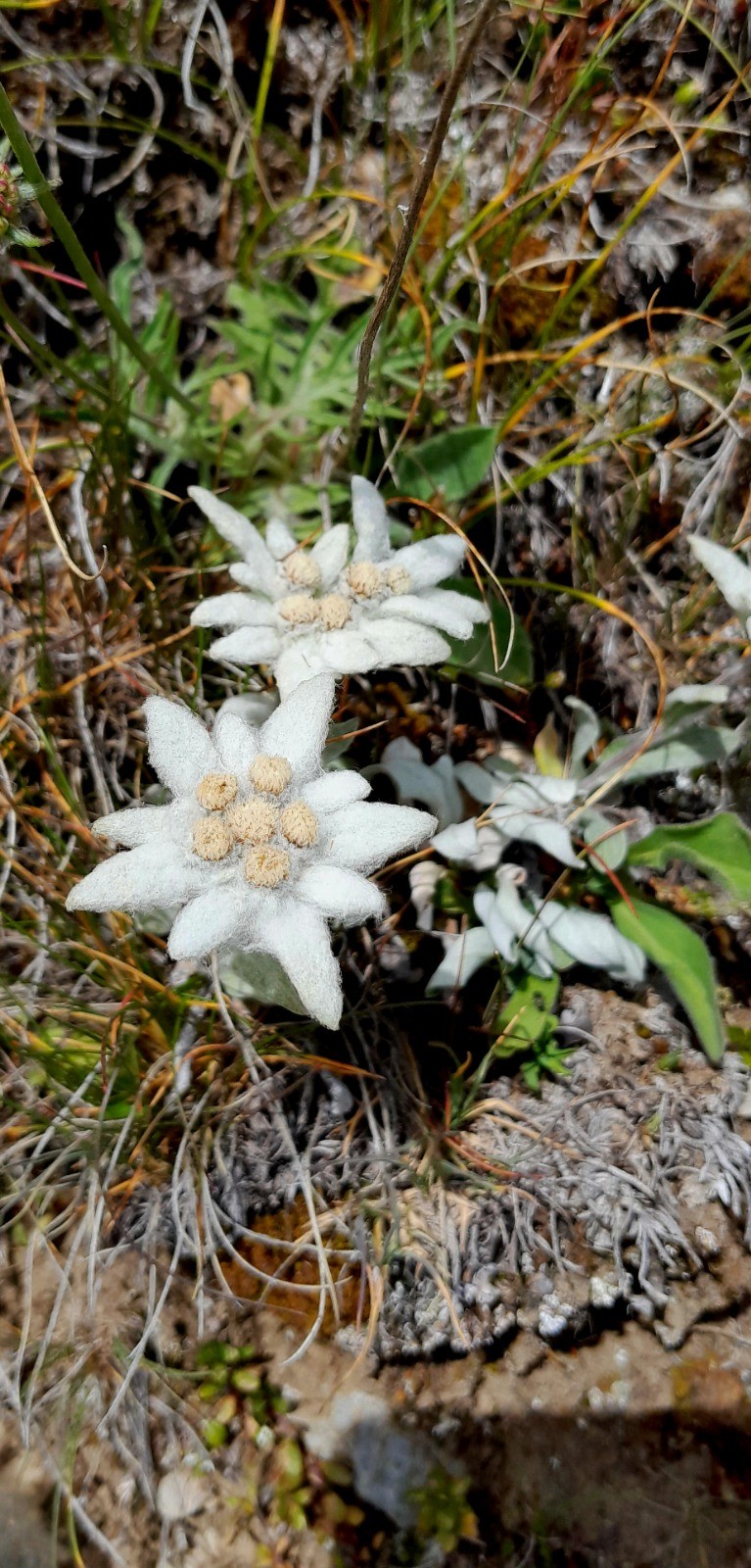
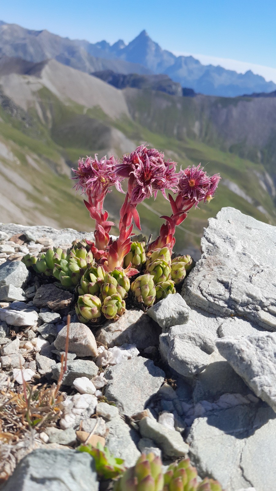
Découverte des sommets et vallées du Chambeyron franco-italien. Faisable en 3 à 5 jours. J'ai bivouaqué trois nuits. Départ de Larche (gîtes, camping, commerces, restaurants).
 Actions
64.4 km

+4395 m
/-4395 m
41:22

Cliquez pour activer


Cliquez et déplacez la souris sur le profil pour analyser un tronçon (2 doigts sur mobile)
Détails
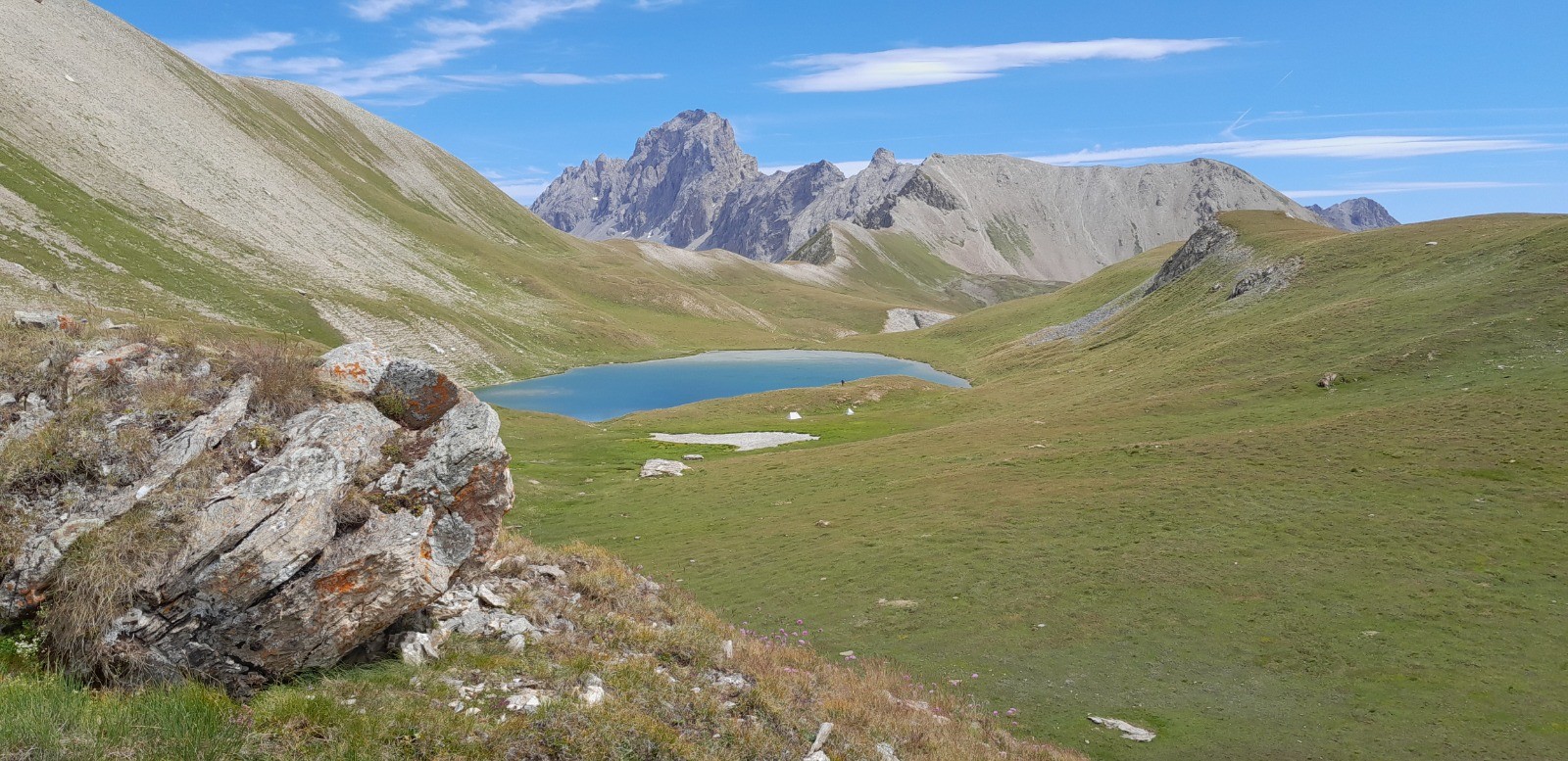
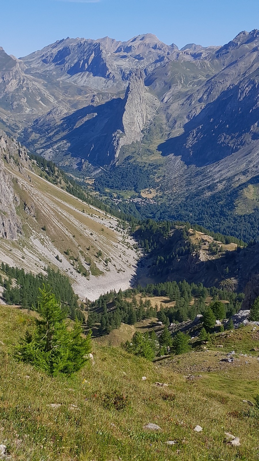
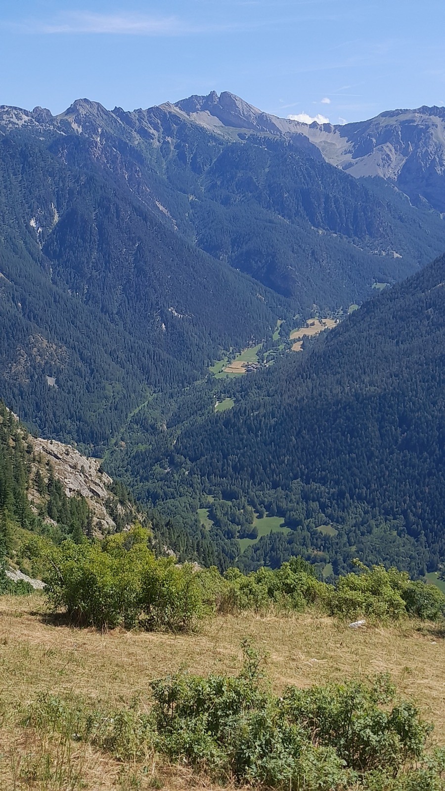
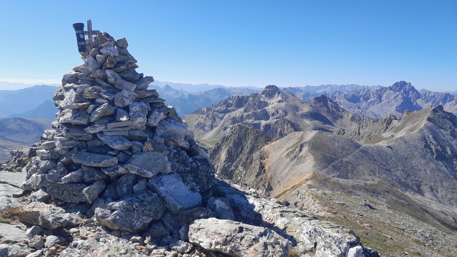
Vallée de la Maira, Monte Albrage (2999m), Chiappera (bar-restaurant, refuge).
 Photos
Commentaires
Pas encore de commentaire, connectez-vous pour en ajouter un.
Connectez-vous pour ajouter un commentaire
Longueur et nombre de points

64.42 km

9344 pts
Denivelé et altitude
Calculés avec un seuil de 10 mètres et un lissage sur 3 points

4394 m

4395 m

2985 m

1390 m

2138 m
Date et durée

26 juillet 2023
00:00

28 juillet 2023
00:00

2 jours

41:22:11
Vitesses et denivelés horaires

1.6 km/h
Détail »

2.6 km/h
au km 53.4

166 m/h
24h38m45s

-353 m/h
11h48m52s
| km | Temps | Vitesse | Pause |
|---|
| 1 | 44'58" | 1.3 km/h | 07'28" |
| 2 | 54'29" | 1.1 km/h | 23'10" |
| 3 | 51'48" | 1.2 km/h | |
| 4 | 54'18" | 1.1 km/h | 03'46" |
| 5 | 44'33" | 1.3 km/h | |
| 6 | 46'01" | 1.3 km/h | |
| 7 | 46'44" | 1.3 km/h | |
| 8 | 36'36" | 1.6 km/h | |
| 9 | 43'57" | 1.4 km/h | |
| 10 | 29'46" | 2 km/h | 33'25" |
| 11 | 31'26" | 1.9 km/h | |
| 12 | 28'45" | 2.1 km/h | |
| 13 | 29'53" | 2 km/h | 07'02" |
| 14 | 29'48" | 2 km/h | |
| 15 | 30'24" | 2 km/h | |
| 16 | 26'35" | 2.3 km/h | |
| 17 | 28'38" | 2.1 km/h | |
| 18 | 38'29" | 1.6 km/h | |
| 19 | 31'15" | 1.9 km/h | |
| 20 | 52'03" | 1.2 km/h | 10'33" |
| 21 | 37'49" | 1.6 km/h | |
| 22 | 40'22" | 1.5 km/h | 01'33" |
| 23 | 51'07" | 1.2 km/h | 01'36" |
| 24 | 50'06" | 1.2 km/h | |
| 25 | 44'15" | 1.4 km/h | |
| 26 | 36'23" | 1.6 km/h | |
| 27 | 42'04" | 1.4 km/h | |
| 28 | 40'32" | 1.5 km/h | |
| 29 | 37'55" | 1.6 km/h | |
| 30 | 43'12" | 1.4 km/h | |
| 31 | 47'58" | 1.3 km/h | 06'27" |
| 32 | 40'49" | 1.5 km/h | 07'14" |
| 33 | 50'24" | 1.2 km/h | 15'39" |
| 34 | 53'04" | 1.1 km/h | 17'42" |
| 35 | 58'07" | 1 km/h | 08'57" |
| 36 | 47'04" | 1.3 km/h | 15'53" |
| 37 | 38'13" | 1.6 km/h | 18'36" |
| 38 | 31'34" | 1.9 km/h | |
| 39 | 31'54" | 1.9 km/h | 03'39" |
| 40 | 29'30" | 2 km/h | |
| 41 | 26'22" | 2.3 km/h | 02'17" |
| 42 | 27'10" | 2.2 km/h | |
| 43 | 27'51" | 2.2 km/h | |
| 44 | 29'03" | 2.1 km/h | |
| 45 | 34'20" | 1.7 km/h | |
| 46 | 37'55" | 1.6 km/h | |
| 47 | 48'39" | 1.2 km/h | 38'17" |
| 48 | 25'31" | 2.4 km/h | 77'02" |
| 49 | 44'51" | 1.3 km/h | 23'13" |
| 50 | 36'10" | 1.7 km/h | |
| 51 | 56'31" | 1.1 km/h | |
| 52 | 47'00" | 1.3 km/h | 24'29" |
| 53 | 46'08" | 1.3 km/h | 29'49" |
| 54 | 24'06" | 2.5 km/h | 20'02" |
| 55 | 28'47" | 2.1 km/h | |
| 56 | 29'01" | 2.1 km/h | |
| 57 | 27'09" | 2.2 km/h | |
| 58 | 28'36" | 2.1 km/h | |
| 59 | 30'32" | 2 km/h | |
| 60 | 46'52" | 1.3 km/h | |
| 61 | 44'55" | 1.3 km/h | |
| 62 | 34'49" | 1.7 km/h | |
| 63 | 28'11" | 2.1 km/h | |
| 64 | 26'57" | 2.2 km/h | |
Dépense calorique (estimation)

3357 Cal
81 Cal/h
Plus

Affichée 191 fois et téléchargée 33 fois depuis le 12.07.23 17:31
Carte + Profil [Afficher un aperçu]
<iframe src="https://www.visugpx.com/mofNzwOF5O?iframe" allowfullscreen style="border: 0;width: 100%; height: 540px;" loading="lazy" scrolling="no"></iframe>
Carte uniquement [Afficher un aperçu]
<iframe src="https://www.visugpx.com/mofNzwOF5O?iframe&maponly" allowfullscreen style="border: 0;width: 100%; height: 540px;" loading="lazy" scrolling="no"></iframe>

 ForumsToposLes plus belles randosSegments
 Offre Premium
 Connexion


 445
445 1057
1057 406 [Légende]


