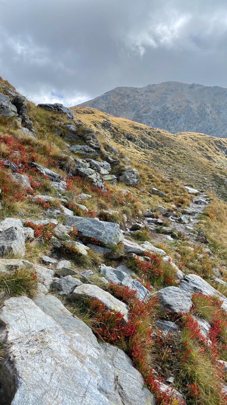
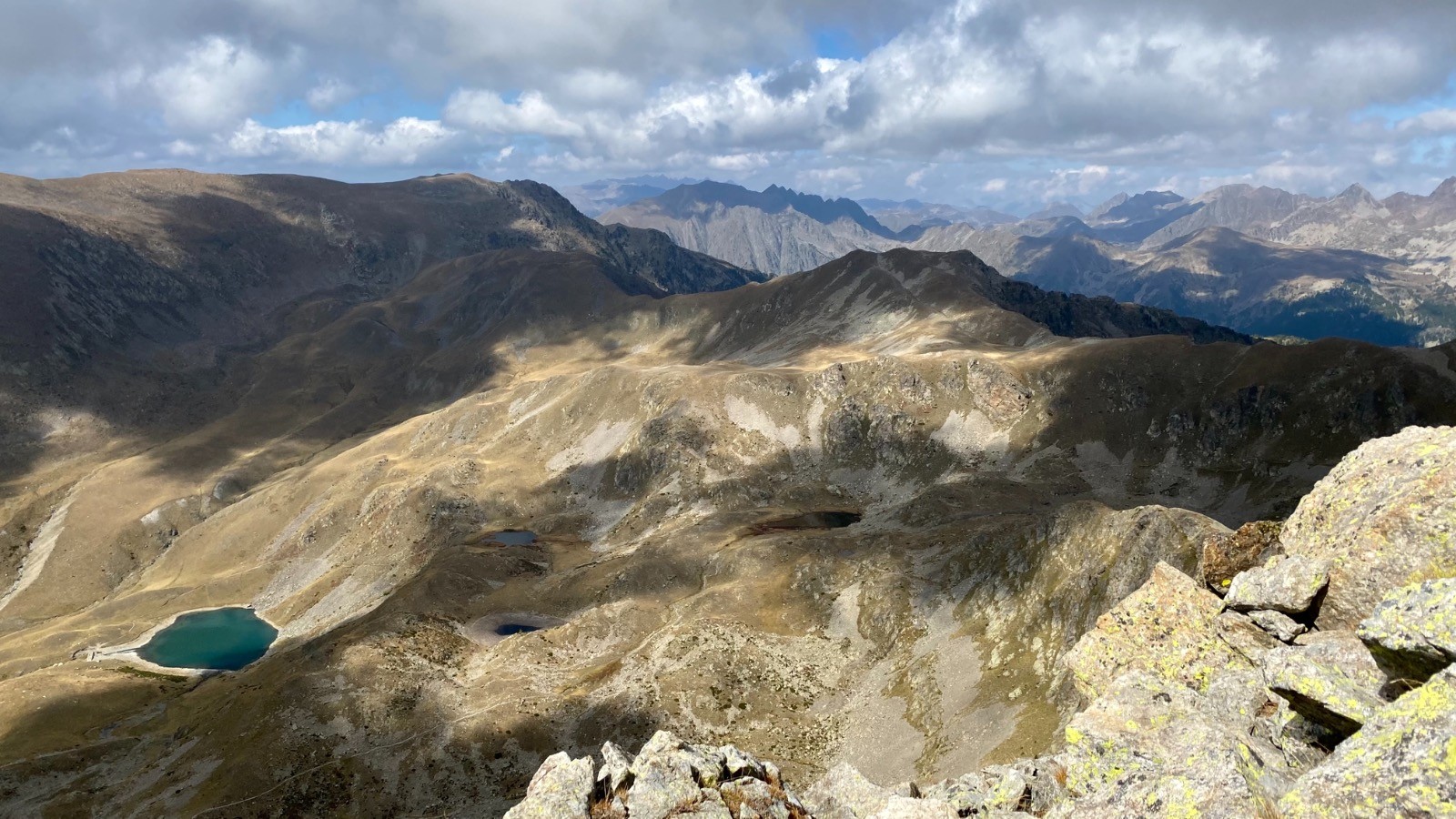
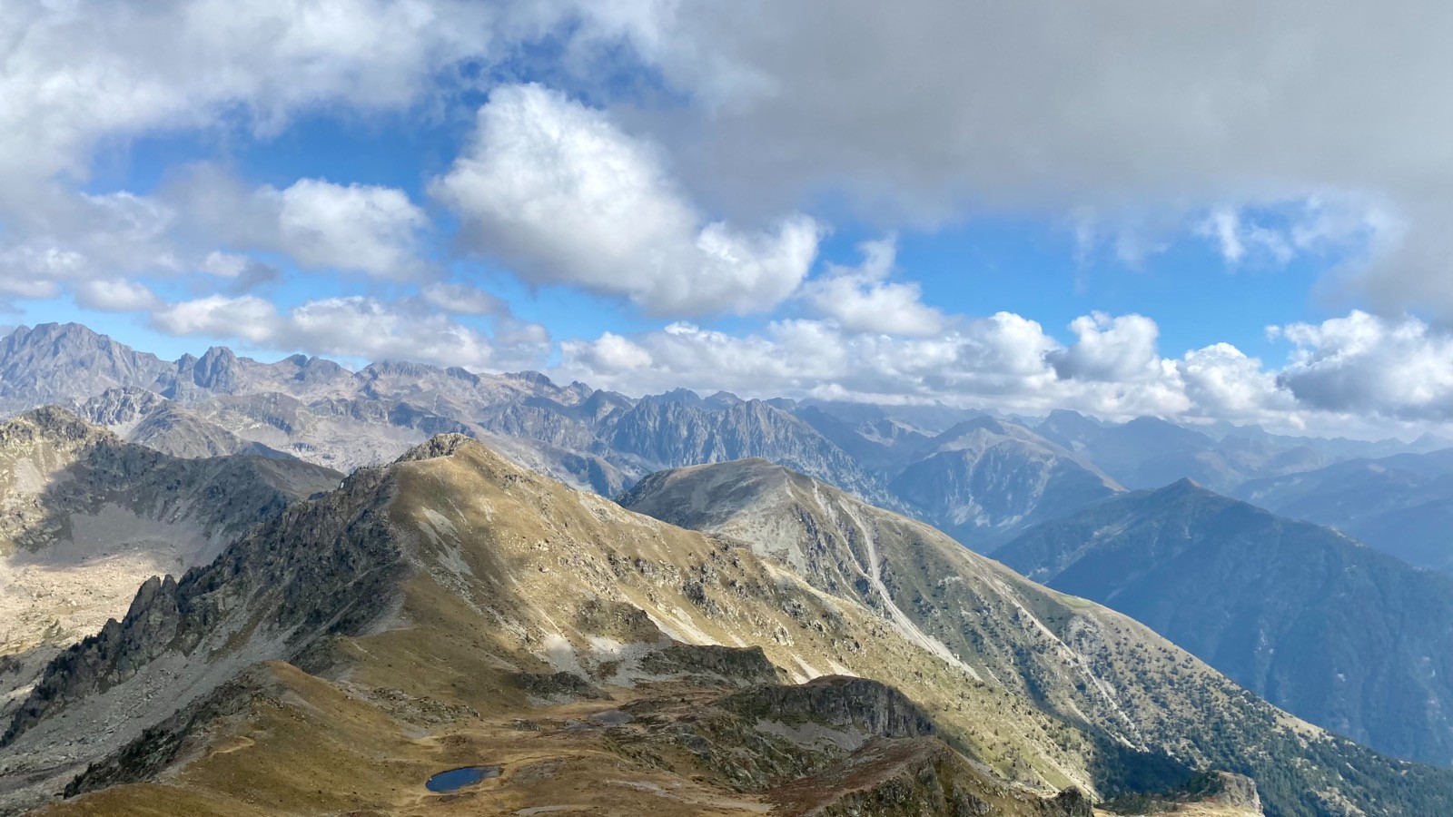
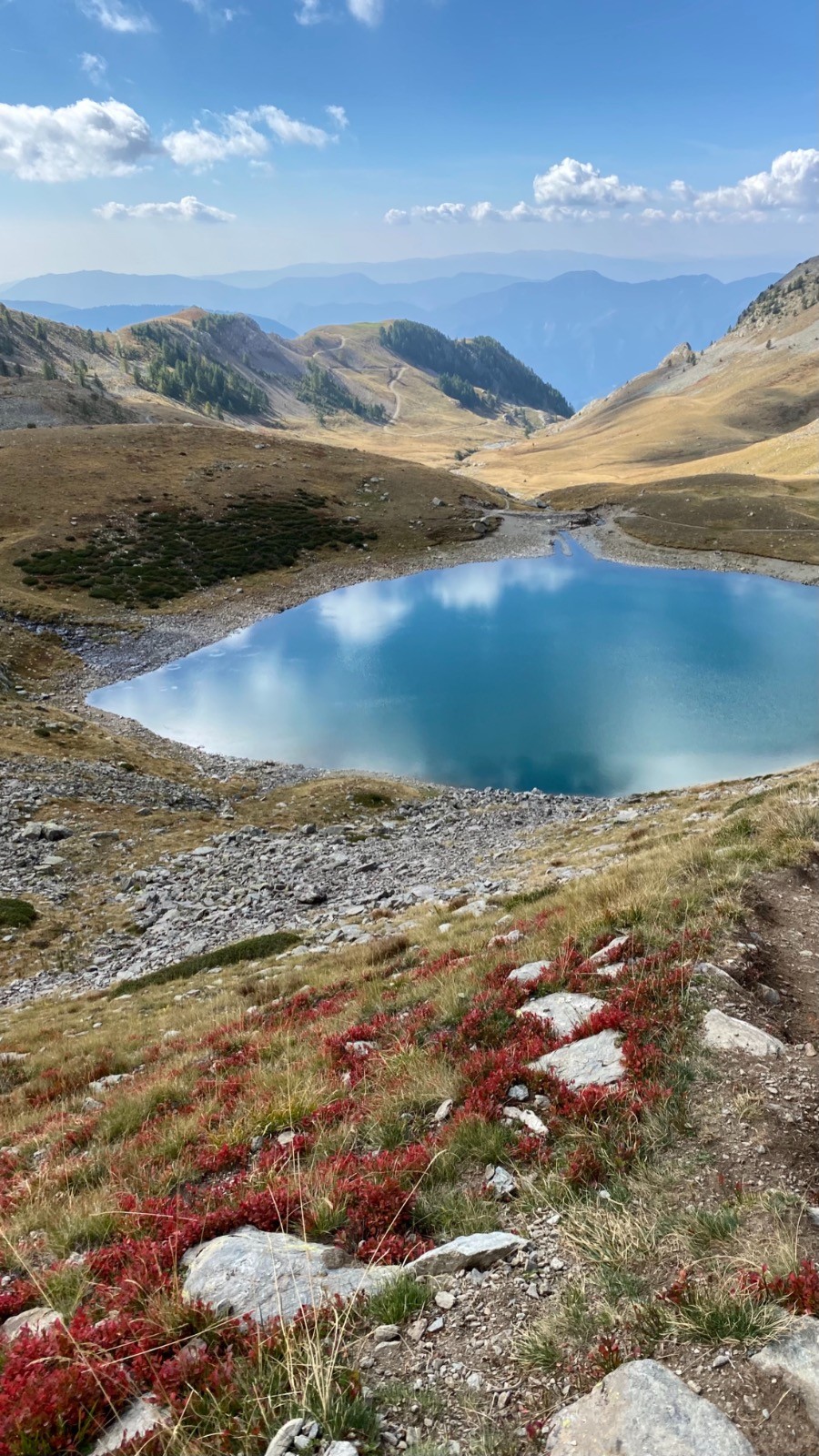
The course starts from the parking at Route des Millefonts with a short steep climb. Shortly after it reaches the Col de Veillos from where a small descent leads to the first of the Millefonts Lakes - Le Lac Petit. From there the course starts gradually climbing between the lakes, past le Lac Rond, le Lac Long, le Lac Gros, and eventually reaching the Col du Barn from where a magnificent panoramic view of the mountain range is revealed. Following is a steep but short ascent to Mont Pépoiri. The final stage is a steep descent back to the parking which merges with the initial steep part at the start of the course.
 Actions
6.9 km

+644 m
/-645 m
02:39

Cliquez pour activer


Cliquez et déplacez la souris sur le profil pour analyser un tronçon (2 doigts sur mobile)
 Photos
Commentaires
Pas encore de commentaire, connectez-vous pour en ajouter un.
Connectez-vous pour ajouter un commentaire
Longueur et nombre de points

6.93 km

2739 pts
Denivelé et altitude
Calculés sans seuil et un lissage sur 5 points

644 m

645 m

2653 m

2037 m

2310 m
Date et durée

01 octobre 2021
10:58

01 octobre 2021
14:07

03:08:44

02:39:24

00:29:20
Vitesses et denivelés horaires

2.6 km/h
Détail »

4.4 km/h
au km 6.9

402 m/h
1h32m03s

-662 m/h
0h54m59s
| km | Temps | Vitesse | Pause |
|---|
| 1 | 21'24" | 2.8 km/h | |
| 2 | 18'27" | 3.3 km/h | 01'46" |
| 3 | 21'31" | 2.8 km/h | 05'20" |
| 4 | 22'50" | 2.6 km/h | 06'10" |
| 5 | 29'35" | 2 km/h | 12'49" |
| 6 | 26'17" | 2.3 km/h | |
Dépense calorique (estimation)

520 Cal
196 Cal/h
Plus

Affichée 633 fois et téléchargée 42 fois depuis le 03.10.21 14:51
KME
15.5 kilomètres effort
Carte + Profil [Afficher un aperçu]
<iframe src="https://www.visugpx.com/8VSJ690Mw9?iframe" allowfullscreen style="border: 0;width: 100%; height: 540px;" loading="lazy" scrolling="no"></iframe>
Carte uniquement [Afficher un aperçu]
<iframe src="https://www.visugpx.com/8VSJ690Mw9?iframe&maponly" allowfullscreen style="border: 0;width: 100%; height: 540px;" loading="lazy" scrolling="no"></iframe>


 ForumsToposLes plus belles randosSegments
 Offre Premium
 Connexion


 89
89 207
207 62 [Légende]


