 Actions
9.6 km

+287 m
/-290 m
03:12

Cliquez pour activer


Cliquez et déplacez la souris sur le profil pour analyser un tronçon (2 doigts sur mobile)
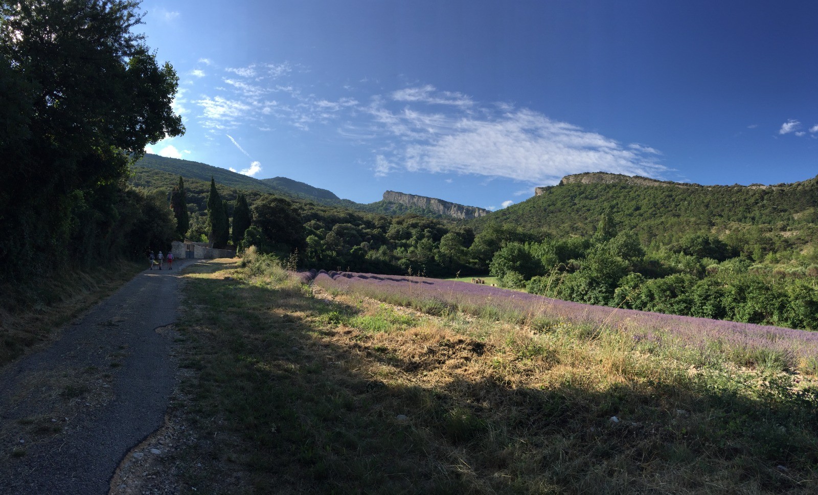
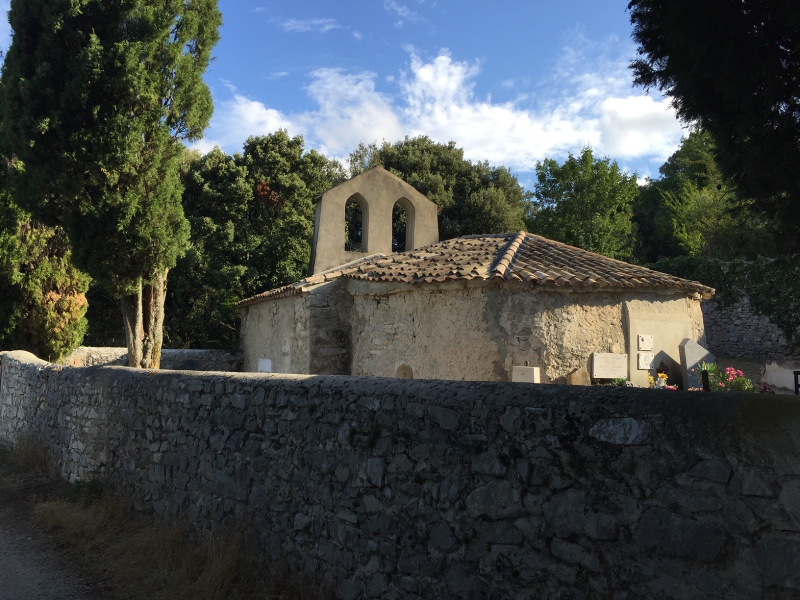
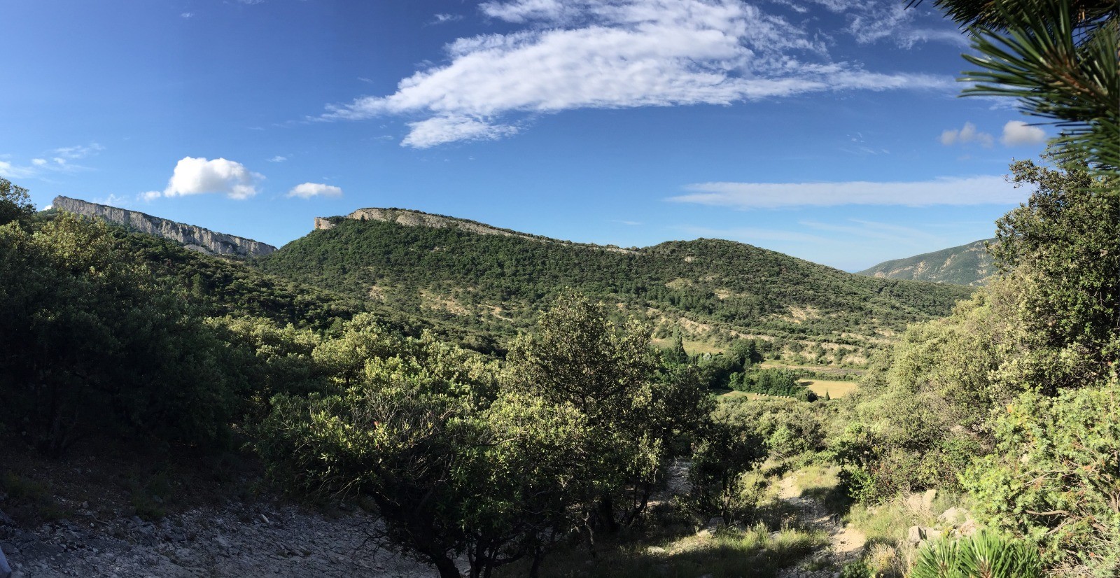
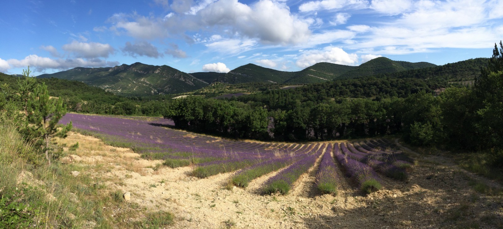
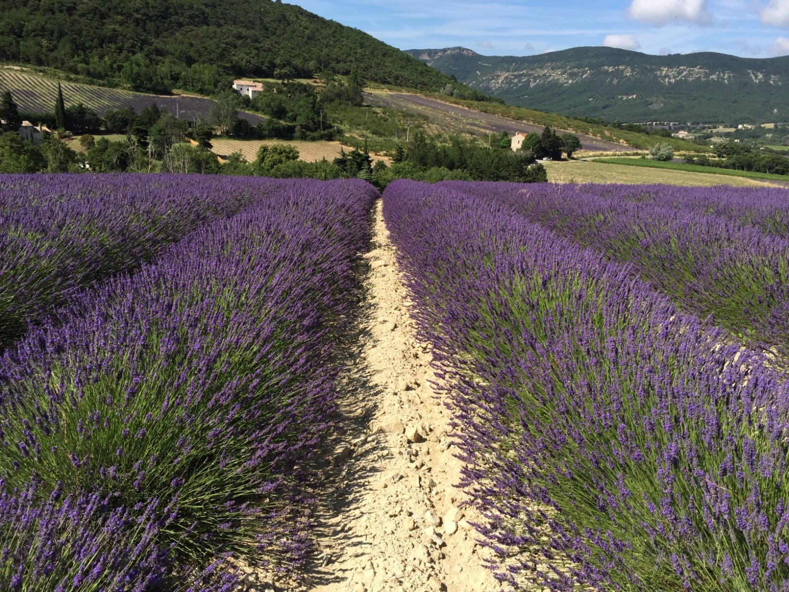
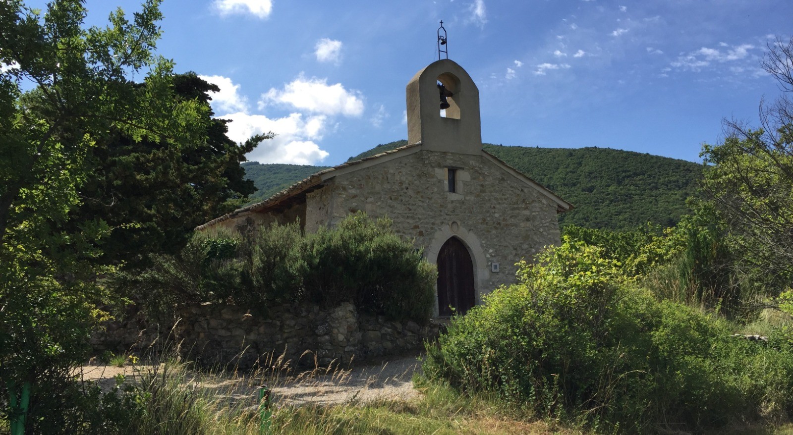
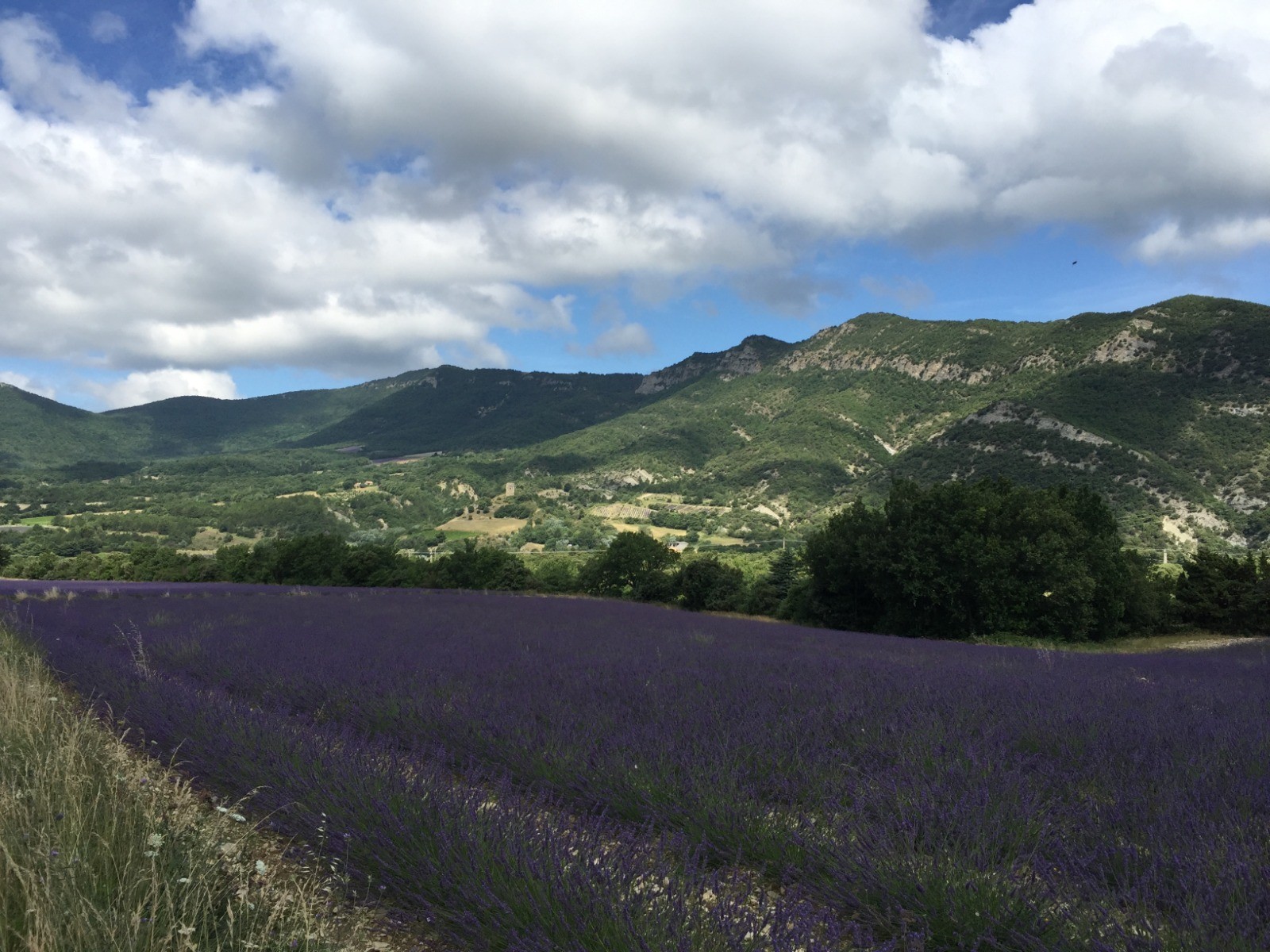
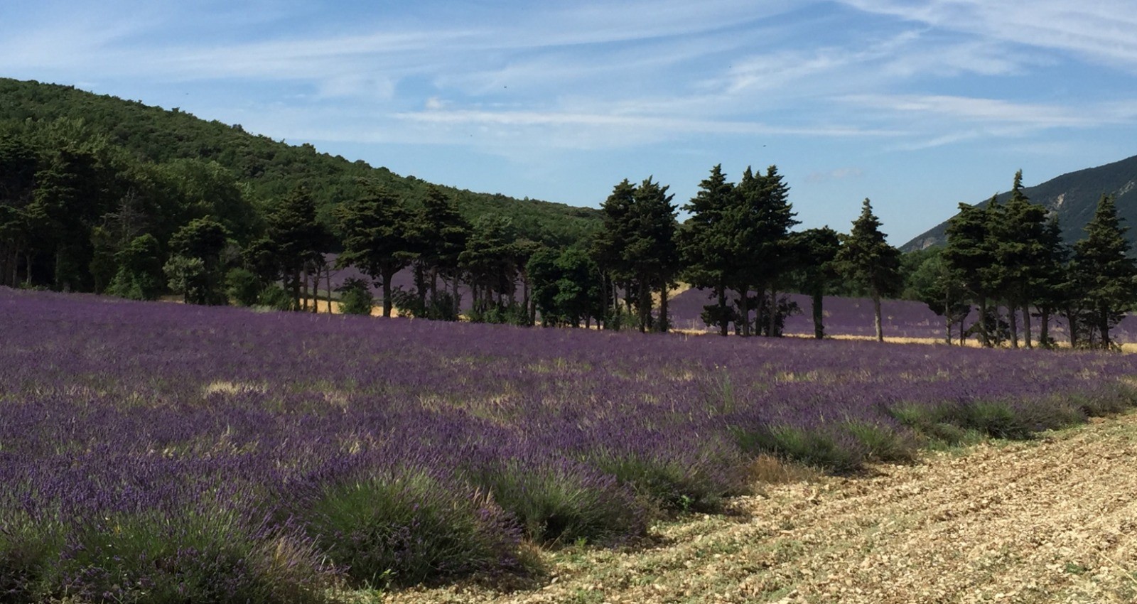
 Photos
Commentaires

Par
b3_web le 05.07.22 17:59
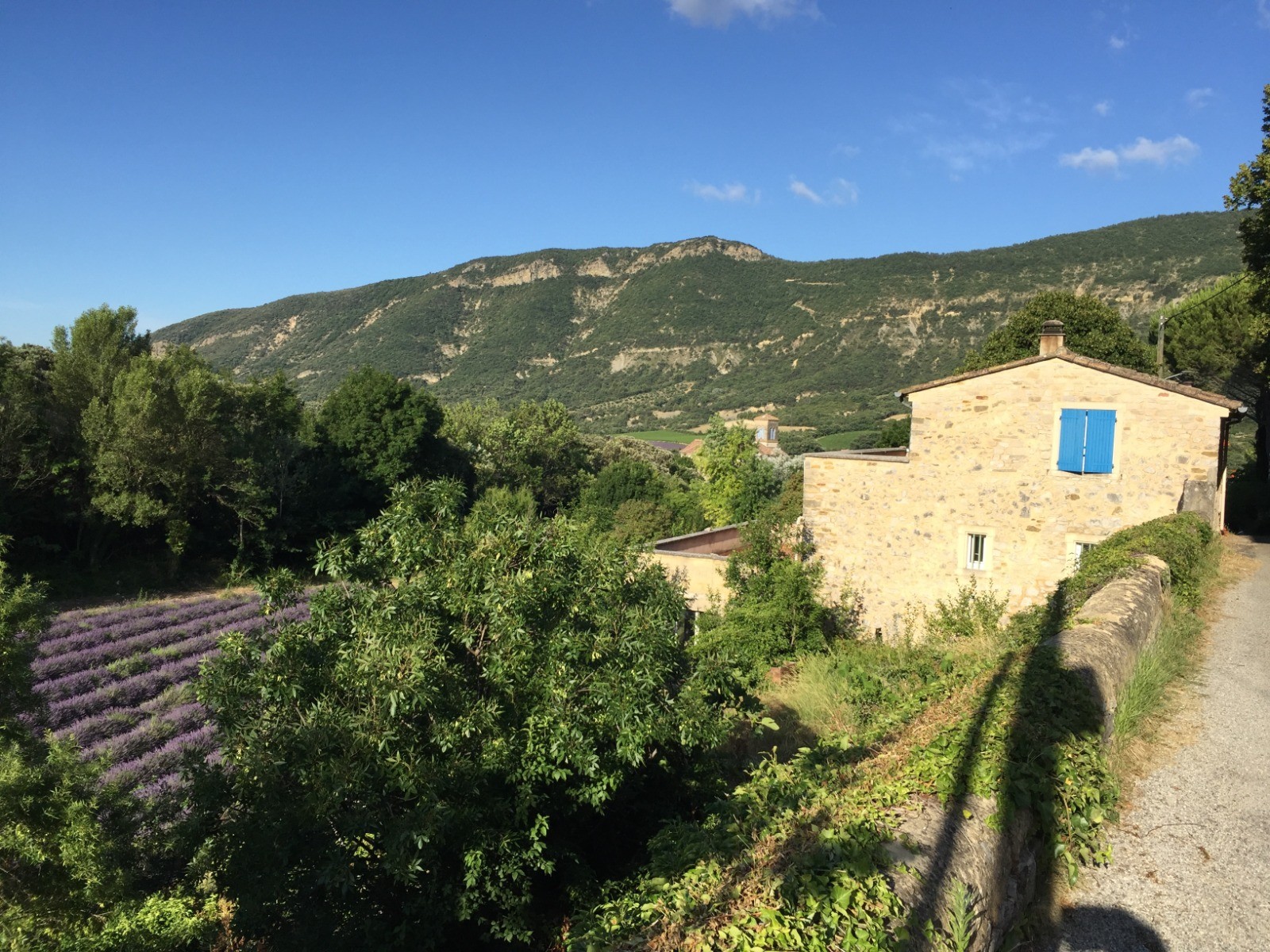
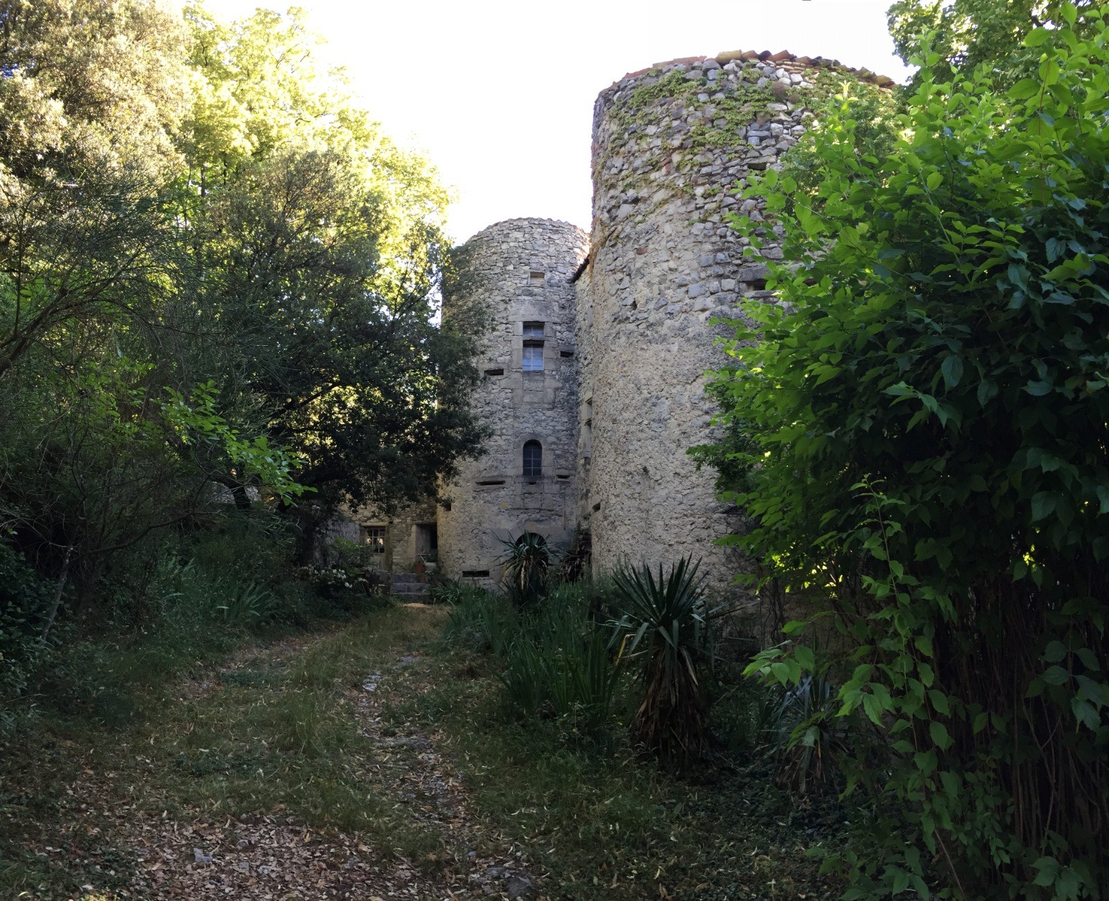
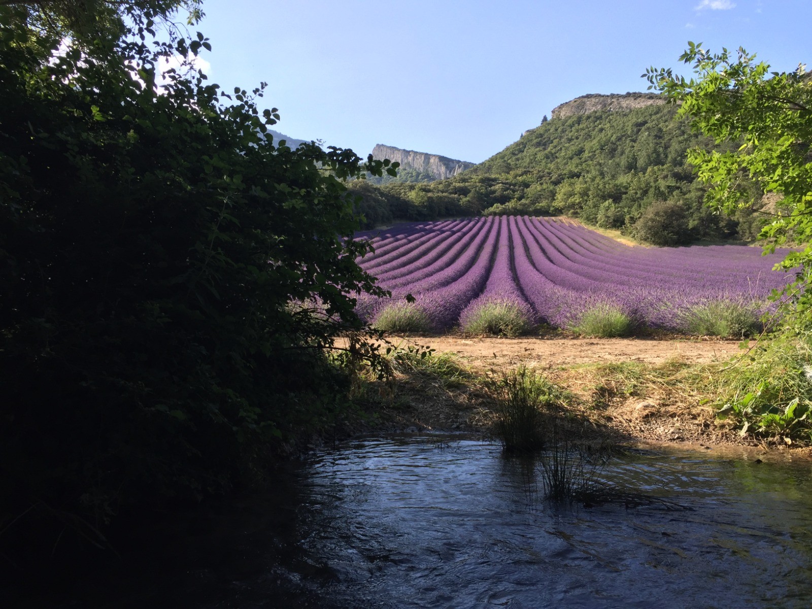
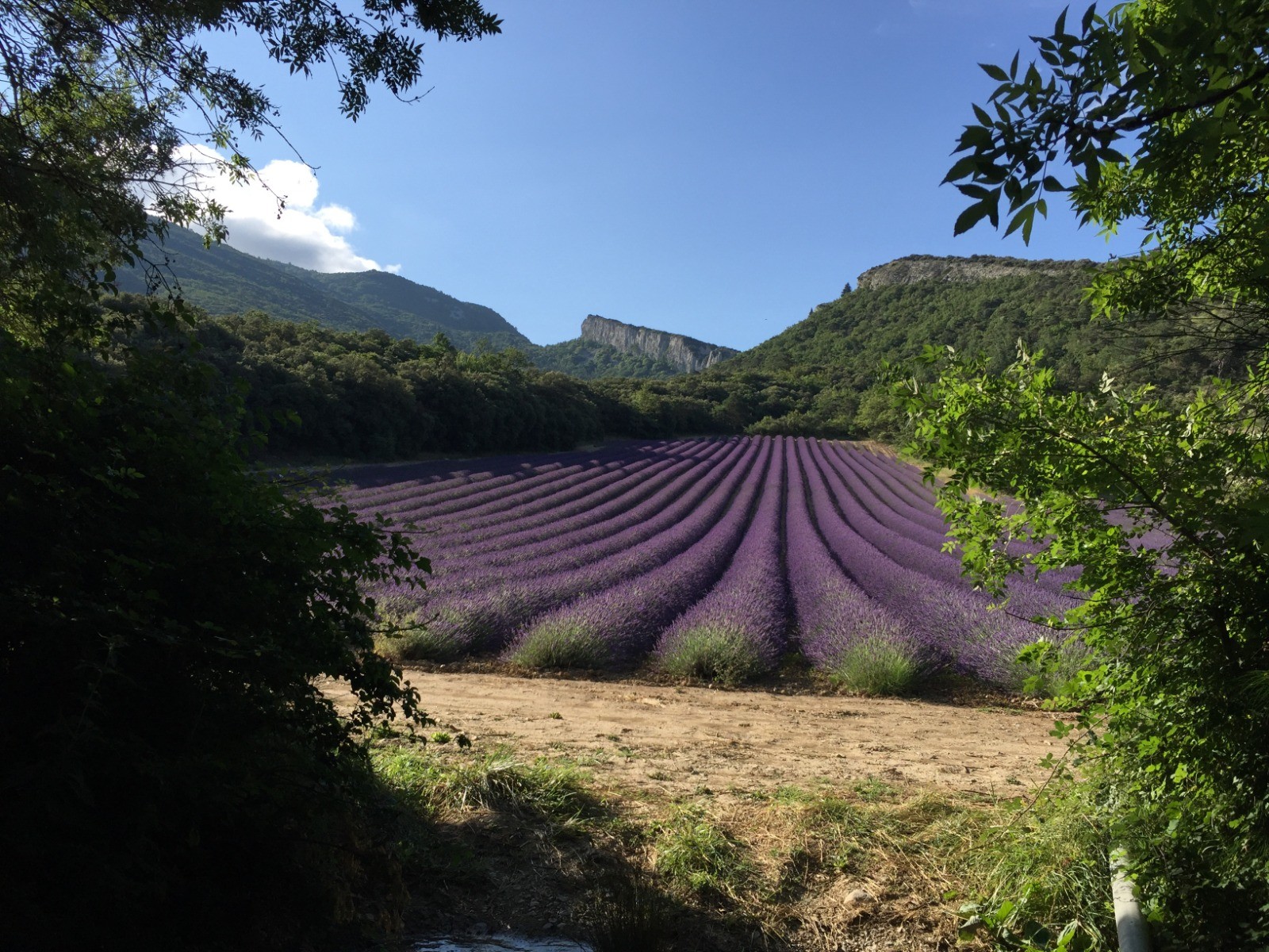
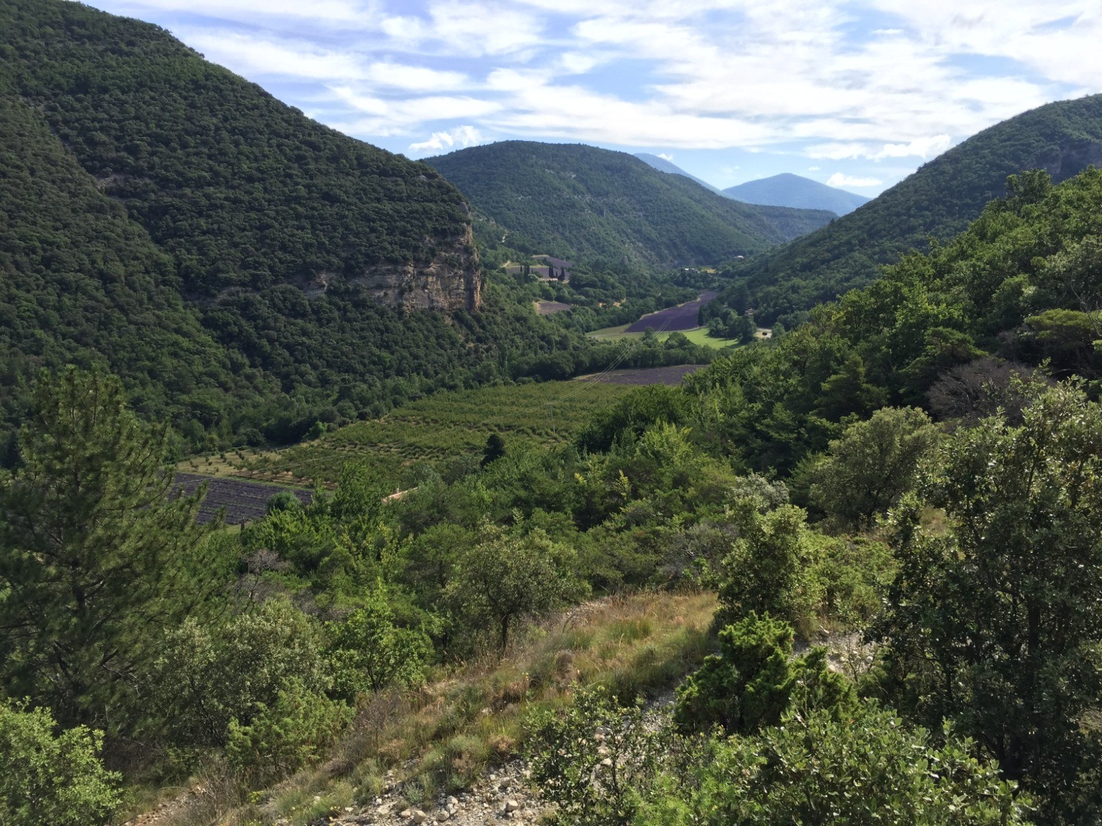
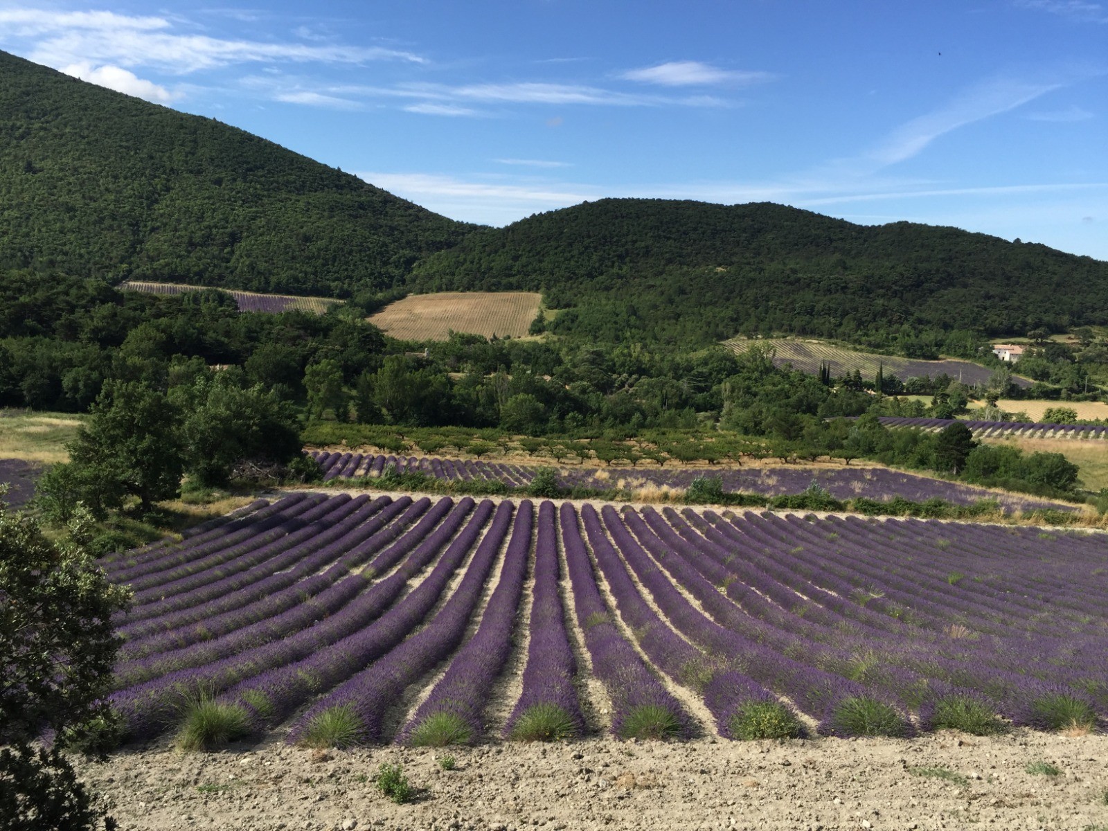
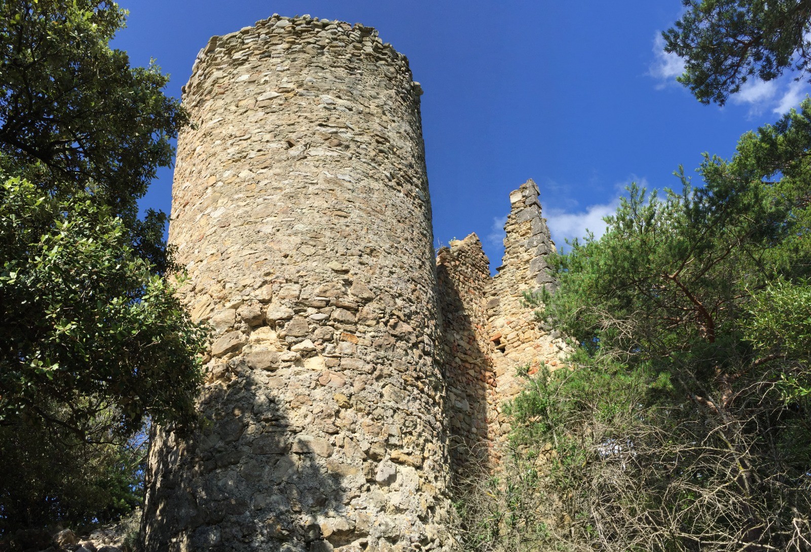
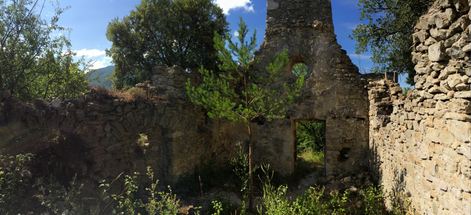
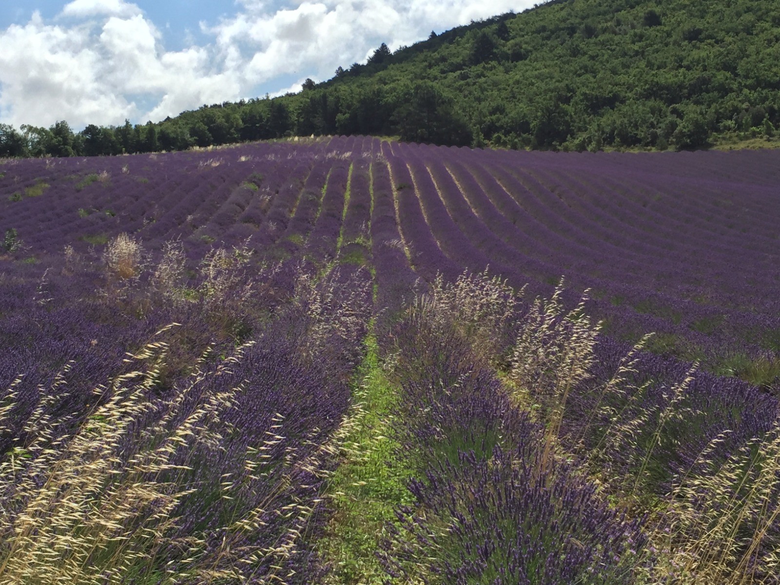
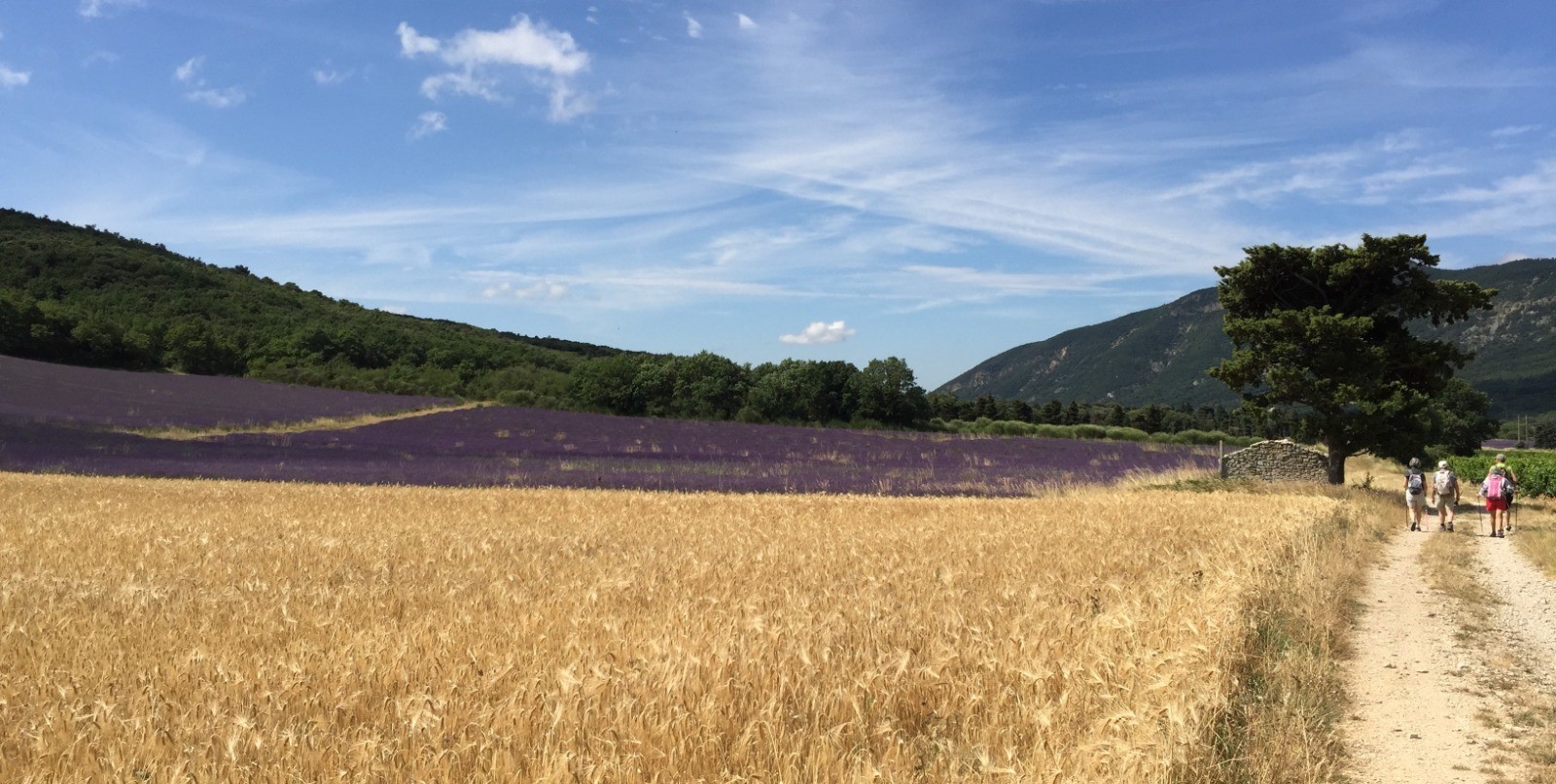
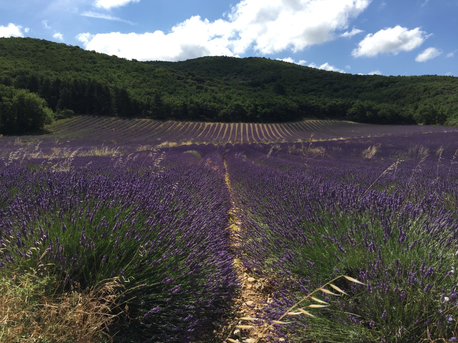
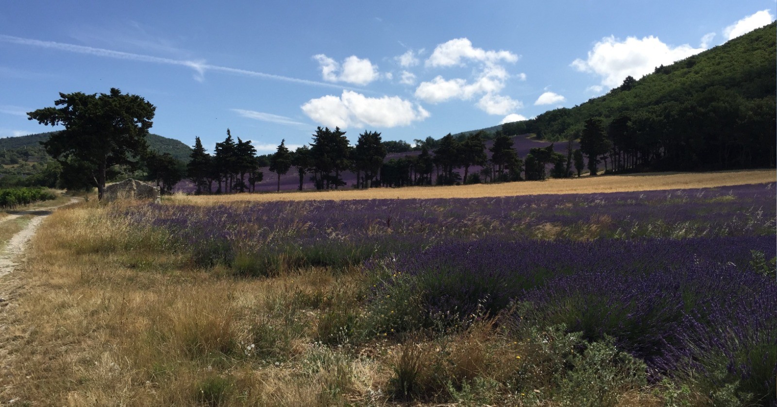
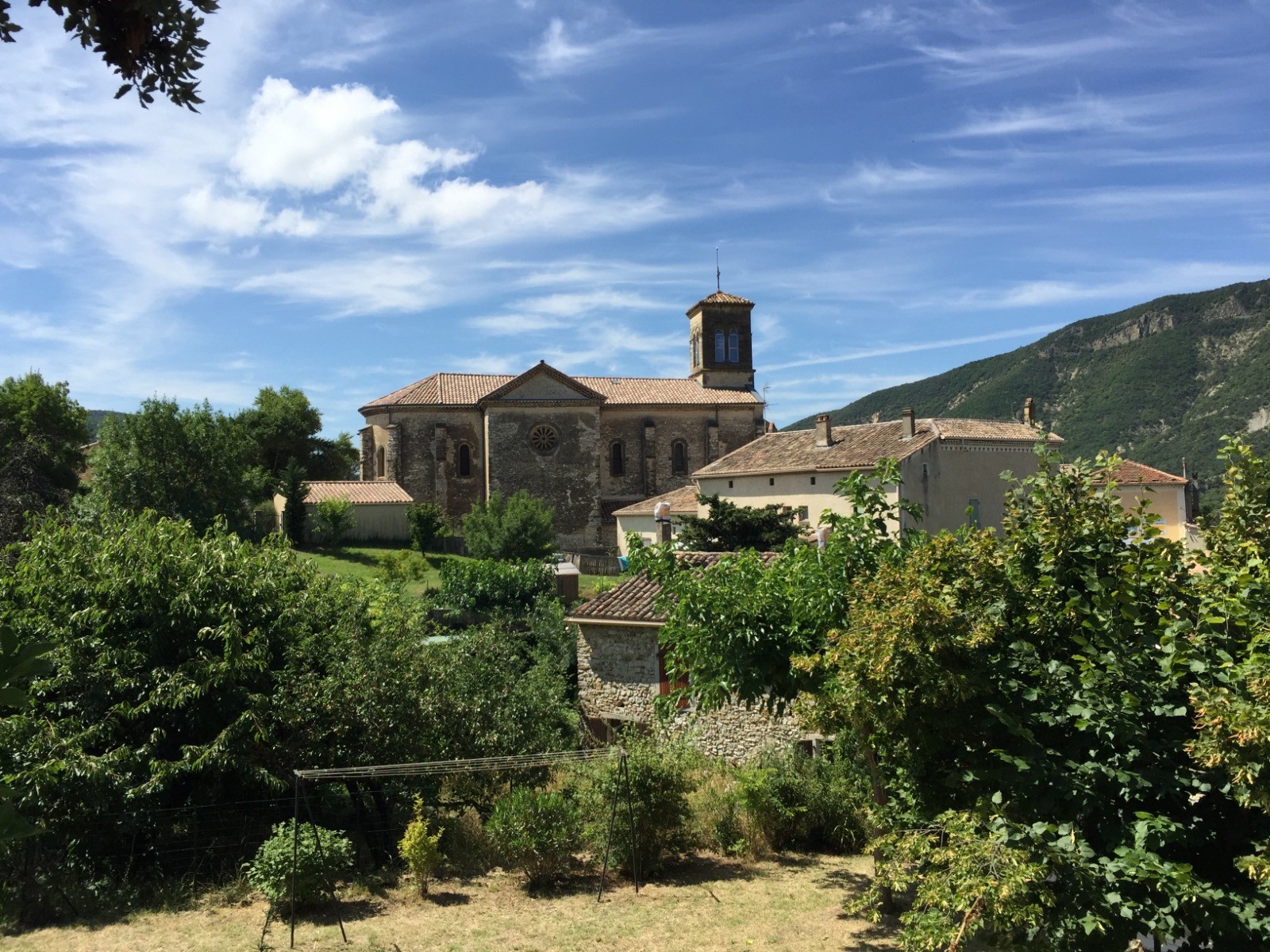
I need to write this comment in English, as my French is not good enough. My wife and I went this hiking trip in July 2022 and it is absolutely fantastic. Wonderful nature, many beautiful lavender fields and wine fields. However, there is a steep ascent as well as a steep descent, so you need some good fitness. Thanks to the author for uploading the trip and giving other people the chance to also enjoy it.
Connectez-vous pour ajouter un commentaire
Longueur et nombre de points

9.56 km

569 pts
Denivelé et altitude
Calculés avec un seuil de 10 mètres et un lissage sur 5 points

286 m

290 m

552 m

355 m

426 m
Date et durée

09 juillet 2021
08:18

09 juillet 2021
11:54

03:35:52

03:12:14

00:23:38
Vitesses et denivelés horaires

3 km/h
Détail »

4.5 km/h
au km 0.8

249 m/h
0h54m00s

-235 m/h
0h57m22s
| km | Temps | Vitesse | Pause |
|---|
| 1 | 15'59" | 3.8 km/h | |
| 2 | 17'17" | 3.5 km/h | 02'41" |
| 3 | 24'11" | 2.5 km/h | 08'29" |
| 4 | 20'40" | 2.9 km/h | 02'15" |
| 5 | 22'03" | 2.7 km/h | |
| 6 | 25'36" | 2.3 km/h | 05'07" |
| 7 | 21'01" | 2.9 km/h | 01'57" |
| 8 | 19'13" | 3.1 km/h | |
| 9 | 16'04" | 3.7 km/h | 03'09" |
Dépense calorique (estimation)

288 Cal
90 Cal/h
Plus

Affichée 258 fois et téléchargée 30 fois depuis le 09.07.21 15:36
KME
13.4 kilomètres effort
Carte + Profil [Afficher un aperçu]
<iframe src="https://www.visugpx.com/5rj0QbGCGE?iframe" allowfullscreen style="border: 0;width: 100%; height: 540px;" loading="lazy" scrolling="no"></iframe>
Carte uniquement [Afficher un aperçu]
<iframe src="https://www.visugpx.com/5rj0QbGCGE?iframe&maponly" allowfullscreen style="border: 0;width: 100%; height: 540px;" loading="lazy" scrolling="no"></iframe>


 ForumsToposLes plus belles randosSegments
 Offre Premium
 Connexion


 39
39 68
68 29 [Légende]


