Actions
11.5 km

+1082 m
/-1098 m
03:40

Cliquez pour activer


Cliquez et déplacez la souris sur le profil pour analyser un tronçon (2 doigts sur mobile)
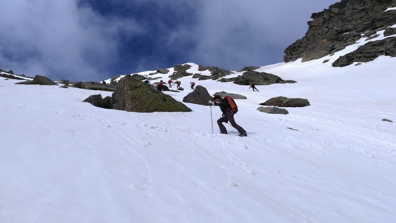
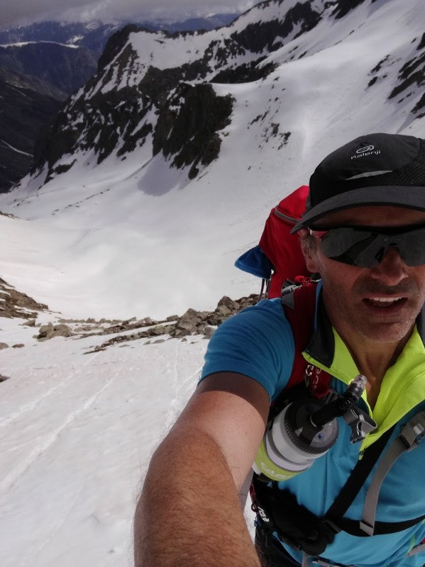
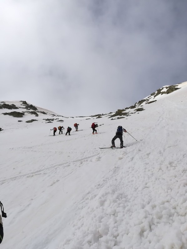
 Photos
Commentaires

Par
gerald.aufranc le 15.05.18 09:00
les albums photos des 4 randonnées :
trace 1 :
https://photos.app.goo.gl/2CwKNqWNgm4cBvUn1
trace 2 :
https://photos.app.goo.gl/uIkchzsa9gLGJw7m1
trace 3 :
https://photos.app.goo.gl/W4AvEE5aZ5hnH4Mu1
trace 4 :
https://photos.app.goo.gl/Qvszzk055P2plOY53
Connectez-vous pour ajouter un commentaire
Longueur et nombre de points

11.5 km

1283 pts
Denivelé et altitude
Calculés sans seuil et un lissage sur 3 points

1082 m

1098 m

2721 m

1634 m

2101 m
Date et durée

10 mai 2018
07:21

10 mai 2018
13:24

06:03:21

03:40:31

02:22:50
Vitesses et denivelés horaires

3.1 km/h
Détail »

36.3 km/h
au km 7.6

408 m/h
2h34m59s

-1248 m/h
0h51m24s
| km | Temps | Vitesse | Pause |
|---|
| 1 | 23'34" | 2.5 km/h | 05'21" |
| 2 | 24'30" | 2.4 km/h | 07'53" |
| 3 | 31'16" | 1.9 km/h | 12'58" |
| 4 | 29'53" | 2 km/h | 16'24" |
| 5 | 35'22" | 1.7 km/h | 45'29" |
| 6 | 22'13" | 2.7 km/h | 36'23" |
| 7 | 05'58" | 10.1 km/h | 07'07" |
| 8 | 06'19" | 9.5 km/h | 02'59" |
| 9 | 08'50" | 6.8 km/h | 02'45" |
| 10 | 07'16" | 8.3 km/h | |
| 11 | 15'05" | 4 km/h | 01'56" |
Dépense calorique (estimation)

763 Cal
208 Cal/h
Plus

Affichée 3064 fois et téléchargée 128 fois depuis le 07.04.20 15:25
Carte + Profil [Afficher un aperçu]
<iframe src="https://www.visugpx.com/zVGXs1j7se?iframe&t=2" allowfullscreen style="border: 0;width: 100%; height: 540px;" loading="lazy" scrolling="no"></iframe>
Carte uniquement [Afficher un aperçu]
<iframe src="https://www.visugpx.com/zVGXs1j7se?iframe&t=2&maponly" allowfullscreen style="border: 0;width: 100%; height: 540px;" loading="lazy" scrolling="no"></iframe>
 ForumsToposLes plus belles randosSegments
 Offre Premium
 Connexion