Actions
11.4 km

+150 m
/-160 m
±03:15

Cliquez pour activer

Cliquez et déplacez la souris sur le profil pour analyser un tronçon (2 doigts sur mobile)
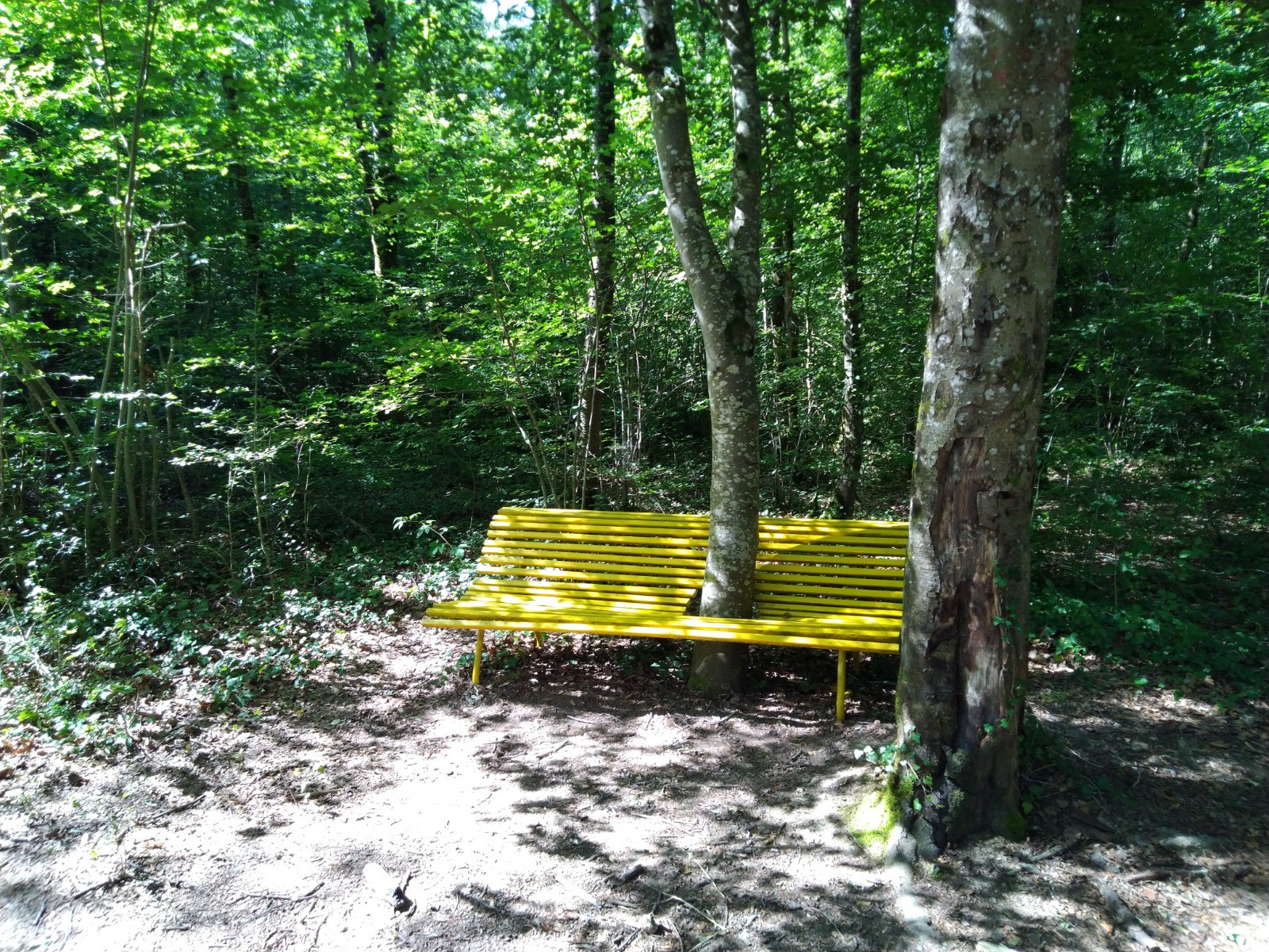
 Photos
Commentaires

Par
David.Stef le 12.07.20 18:57
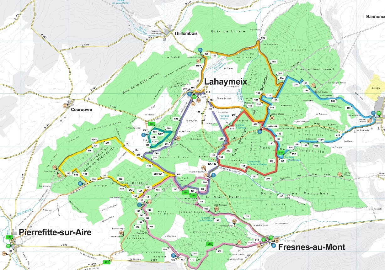
Coordonnés GPS
Parking circuit jaune : 48°54'51.5"N 5°21'41.7"E
Parking circuit vert : 48°55'40.7"N 5°23'21.6"E
Parking circuit violet et orange : 48°56'22.3"N 5°24'34.0"E ou 48°54'52.7"N 5°24'55.3"E
Parking circuit rose : 48°54'28.5"N 5°23'12.5"E ou 48°53'33.2"N 5°24'00.4"E ou encore 48°53'46.1"N 5°26'24.8"E
Parking circuit rouge, orange et bleu : 48°55'42.6"N 5°26'16.3"E
Parking circuit bleu : 48°55'49.4"N 5°29'16.1"E ou 48°55'41.5"N 5°29'06.6"E
Parking circuit orange : 48°57'01.7"N 5°24'45.3"E
Connectez-vous pour ajouter un commentaire
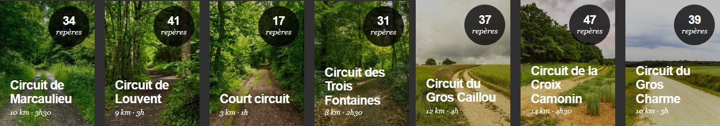
Longueur et nombre de points

11.44 km

643 pts

123 marqueurs
Denivelé et altitude
Calculés avec un seuil de 30 mètres et un lissage sur 9 points (corrigé car densité de points faible)

149 m

160 m

350 m

221 m

297 m
Plus

Affichée 3927 fois et téléchargée 478 fois depuis le 12.07.20 13:46
KME
13.5 kilomètres effort
Carte + Profil [Afficher un aperçu]
<iframe src="https://www.visugpx.com/OTdgf9BiKE?iframe&t=1" allowfullscreen style="border: 0;width: 100%; height: 540px;" loading="lazy" scrolling="no"></iframe>
Carte uniquement [Afficher un aperçu]
<iframe src="https://www.visugpx.com/OTdgf9BiKE?iframe&t=1&maponly" allowfullscreen style="border: 0;width: 100%; height: 540px;" loading="lazy" scrolling="no"></iframe>
 ForumsToposLes plus belles randosSegments
 Offre Premium
 Connexion